Thale Ban National Park
Contact Location : Thale Ban National Park, Moo 4, Samantaratwithi Road, Wang Prachan Sub-district, Khuan Don District, Satun Province 91160
Telephone Number : (+66) 8 3533 1710, (+66) 7 475 0758, Fax: (+66) 7 475 0757
Email : thaleban_np@hotmail.co.th
Facebook : Thale Ban National Park
Information
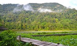
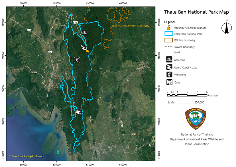
Thale Ban National Park is located in Khuan Don and Mueang District, Satun Province, near the Thai – Malaysian border. In Malaysian, Thale Ban means a large freshwater marsh, and the area of the marsh is approximately 125 rai (0.2 square kilometers) in size. It is located in the middle of the China Valley and Khao Mot Daeng, which was created by a land collapse.
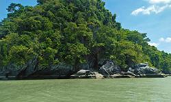
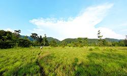
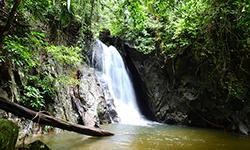
The surrounding area consists of fertile forests, high complex mountain landscape, waterfalls, caves and majestic nature.
The total area of Thale Ban National Park is approximately 196 square kilometers or 122,500 rai and it is located in the Khuan Don and Mueang Districts of Satun Province, between latitudes of 6 degrees 25 minutes and 6 degrees 48 minutes north and longitudes of 100 degrees 05 minutes to 100 degrees 13 minutes east. It borders the following territories;
North: Ton Nga Chang Wildlife Sanctuary
East: Sadao District, Songkhla Province
South: Perlis, Malaysia
West: Mueang District, Satun Province
Background
-
Note : After paying the entrance fee to the National Park, please carry the receipt for inspection.
122,500 rai (196 square kilometers)
|
|
|
|
|
|
Nature trails ⇔ Visit Waterfall ⇔ Swimming ⇔ Observe flowers/plant ⇔ Bird , butterfly , wildlife watching activities ⇔ Take a photo/Video ⇔ Camping
Welfare shop :
Shops Welfare (Restaurant): Open daily from 8.00 - 17.00 hrs.
During the high season, it is open from 7.00 - 20.00 hrs..
National Park Headquarters : AIS, DTAC, TRUE
Thale Ban swamp area : AIS, DTAC, TRUE
|
|
Most of the area is a complex mountain landscape and it has a total area of 196 square kilometers. To the east are mountains made up of granite and granodiorite. The soil has relatively high fertility levels and is rich in dense forest vegetation. However, the soil erodes easily due to the high gradients on the western slopes. There is also chemical erosion caused by groundwater that creates trace or large holes, which often turn into caves. The park is home to caves such as Thon Din Cave, and Lot Pu Yu Cave, and the Thale Ban marsh created by a cave collapse. The highest peak in this area, Khao Cheen is about 756 meters above sea level. Characteristics of the waterways around Thale Ban National Park show they are mixed in length but mostly flow east to north, flowing into the Khlong Chaliang and the Duson Irrigation Canal. Tributaries include Klang Ban Canal, Ya Roi Canal and Tu Yo Canal, which is also used for Satun Province’s water supply. Villagers around the park used the streams as a source for agriculture. The park has a mountain range and plains in the valley bottoms. Therefore, there are many small streams with water flowing during the rainy season. The southern part of the National Park, around the marsh, is in the valley between Khao Wang Kunom, Khao Pu Yu, and Khao |
|
Climate Characteristics As Satun is located on the west coast of the southern region bordering Malaysia it is influenced by the monsoons. The southwest monsoon is from from May to October, and the northeast monsoon influences from November to February. But because Satun Province is on the west coast and at the end of the wind, the park is therefore rarely influenced by this monsoon wind. However, between October and November, it still rains heavily. After this, the rain may begin to decrease accordingly. From December to March, it's the dry season because the northeast monsoon is weakening. And in February, the southeast monsoon comes. This is because the wind blows from a high-pressure area in the South China Sea, which is hot and humid. Therefore, this month the temperature is rising, and during this period, Satun receives less rainfall than at other times of the year. The climate statistics in the Thale Ban National Park were collected at the weather station in Satun Province, which is located at latitude 6 degrees 39 minutes north and longitude 100 degrees 05 minutes east. The date was recorded from 1978 - 1990. The climate has 2 main seasons. Summer is between February and June, when the weather is very hot, especially in April. The rainy season between August and November and has high relative humidity |
|
|
|
General Forest Conditions The forest is 90% tropical rain forest, which includes mixed deciduous forest and mangrove swamp forest. There are more than 400 species of wildlife, including more than 60 species of mammals, 304 species of birds, 40 species of reptiles, 20 species of amphibians, and hundreds of aquatic species.. Satun Province is about 970 kilometers from Bangkok. From the town of Satun, take Route 406 for about 19 kilometers, then turn right onto Highway No. 4184 for about 20 kilometers. That takes you to the National Park Headquarters.
|
How to get there by car :
from Bangkok take Highway No. 4 to Rattaphum District, Songkhla Province and then turn onto Highway No. 406 At the junction of Wang Prachan Sub-district, take the Thai-Malaysian border road for about 20 kilometers to reach Thale Ban National Park.
How to get there by bus :
from the Southern Bus Terminal , where air-conditioned buses depart to the province every day. The journey takes approximately 15 hours (approximately 1,100 kilometers)
How to get there by train :
you can travel from Bangkok andarrive at Hat Yai Station. Then take a bus or passenger van to Satun
National Park Ranger Station Tho Bo No. 1 (Namtok Yaroi)
National Park Ranger Station Tho Bo No. 2 (Pha Diao)
National Park Ranger Station Tho Bo No. 3 (Thung Ya Wang Pra)
National Park Ranger Station Tho Bo No. 4 (Tammalang - Pu Yu)
National Park Ranger Station Tho Bo No. 5 (Khuan Bo Nam)
Accommodation : Thale Ban 102-104 (Li Boi 1 - 3)
Thale Ban 105/1-2 (Bin La 1)
Thale Ban 106 / 1-2 (Bin La 2)
Thale Ban 107/1-2 (Bin La 3)
Thale Ban 108-109 (Bin La 4 - 5)
Thale Ban National Park has a number of lodges available for visitors, or there are also campsites with tents and equipment are available for rent. There is also a restaurant

