Mae Wa National Park
Contact Location : Mae Wa National Park, Moo 7, Mae Wa Sub-district, Thoen District, Lampang Province 52230
Telephone Number : (+66) 8 1112 2855
Email : maewa_56@hotmail.com
Facebook : Mae Wa National Park
Information
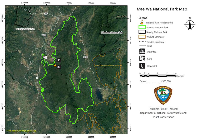
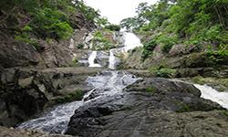
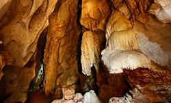
Mae Wa National Park is a fold complex mountain with plains on the ridges. The forests are fertile, and the area covers approximately 583 square kilometers or 364,173 rai in total. Mae Wa National Reserved Forest is home to numerous large and high mountains and is rich in natural beauty, with waterfalls, caves, and an abundance of wildlife. The fertile forest provides water that is critical for agriculture in the park's lower plains. The area can be used for relaxation, education, research, and exploitation of natural herbal resources, deserving of National Park status as stated in the annex part of the Natoinal Park Establishment Decree. It was then announced in the Royal Decree demarking the areas in Mae Larm Forest, Mae Pa Forest, Mae Wa Forest, and Mae Mok Forest as a National Park.
It is located in Mae Pa, Lom Raet, Mae Mok, Thoen Buri, Wiang Mok, and Mae Wa Sub-district, Thoen District, Phra Bat Wang Tuang Sub-district in Mae Phrik District, Lampang Provice. It also includes Mae Salit Forest and Pong Daeng Forest in Wang Chan Sub-district, Sam Ngao District, Mae Salit Sub-district in Ban Tak District, Tak Province. It was declared Thailand’s 98th National Park (Mae Wa National Park) as announced in the Government Gazette Volume 117, Section 108 Ko, on 17 November 2000. This is to conserve the natural resources and stop the destruction and provide other benefits to the state and the people in perpetuity
Background
-
Note : After paying the entrance fee to the National Park, please carry the receipt for inspection.
364,173 rai (582.6 square kilometers)
|
|
|
|
|
|
||
Nature trails ⇔ Trekking ⇔ Long distance hiking ⇔ Visit Waterfall ⇔ Cave exploration/Geological condition ⇔ Observe flowers/plant ⇔ Forest viewpoint ⇔ Mountain biking ⇔ Take a photo/Video
Welfare shop : 08.00 - 17:00 hrs.
Mobile phone signal:
National Park Headquarters area: AIS
|
|
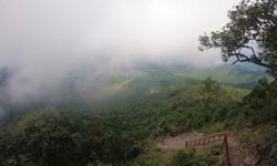
The topography of the area is that of complex mountains landscape. surround the terrain to the north and east and ahigh mountain range runs through the center to the south. at the mountain top is a vast flat land that is densely forested with large pine trees and has stunning scenery. A limestone massif dominates the western portion of the area with its elevation of approximately 300–400 meters above mean sea level. It comprises four summits which are Doi Pha Chi, Doi Pha Khat Hang, Doi Pumo, and Doi Prae Luang, which is the highest at 1,027m. Doi Pha Chi The area is a catchment area for waterways including Mae Wa Creek, Mae Salaem Creek, and Mae Salit Creek, all of which flow into the Ping River, Wang River, and Yom River.
|
|
The climate is influenced by the southwest monsoon during the rainy season and the northeast monsoon during the winter. The rainy season lasts from mid-May to September, with the heaviest rainfall occurring in September. The winter season lasts from October to mid-February, and summer is from February to mid-May.
|
|
|
|
The Mae Wa National Park includes mixed deciduous forests, hill evergreen forests, deciduous dipterocarp forests, and coniferous forests (pine forests). The most important plants are Black Rosewood, Iron Wood, Burma Padauk, Lagerstroemia calyculata Kurz, Tamalin, Spondias bipinnata Airy Shaw, Chukrasia velutina, Terminalia alata Heyne, Green Pome tree, Hopea odorata, Anisoptera costata, Burma Sal, Burmese Sal, Hairy Keruing, Merkus Pine (Pinus merkusii Jungh & De Vriese), and Khasiya Pine (Pinus kesiya Royle ex Gordon).
|
How to get there by car :
Travel from Lampang Province along National Highway No. 1 (Phaholyothin Road) towards Lampang-Tak Province. Between milestone No. 498 – 499 (before reaching Thoen District 19 kilometers ) turn to Mu Ban Mae Wa Tha Chang in the Mae Wa Sub-district. Travel along the route in the village for about 5 kilometers to the Mae Wa National Park Headquarters.
- National Park Ranger Station Mo Wo No. 1 (Namtok Mae Wa)
- National Park Ranger Station Mo Wo No. 2 (Mae Chiang Rai)
- National Park Ranger Station Mo Wo No. 3 (Dong Lan)
- National Park Ranger Station Mo Wo No. 4 (Mae Salaem)
- National Park Ranger Station Mo Wo No. 5 (Mae Pa)
- Accommodation – Maewa 201 (Tadrin)


