Phu Sang National Park
Contact Location : Phu Sang National Park, No. 146, Moo 8, Phu Sang Sub-district, Phu Sang District, Phayao Province 56110
Telephone Number : (+66) 9 3293 5099, (+66) 5407 0205
Email : phusang.np@hotmail.co.th
Facebook : Phu Sang National Park
Information
- Non
Background
- Non
Note : After paying the entrance fee to the National Park, please carry the receipt for inspection.
537,424 rai (859.8 square kilometers)
|
|
|
|
|
|
|
|
|
|
||
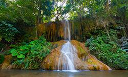
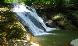
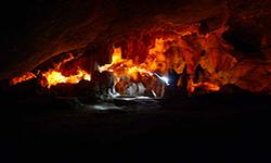
Nature trails ⇔ Trekking ⇔ Visit Waterfall ⇔ Cave exploration/Geological condition ⇔ Observe flowers/plant ⇔ Bird , butterfly ⇔ Stargazing ⇔ Camping
Welfare shop : 08:30 - 16:30 hrs.
Mobile phone signal:
National Park Headquarters area : AIS, TRUE
|
|
Topography - Adjacent to the Lao People's Democratic Republic, Phu Sang National Park is surrounded by a fold mountains (complex mountain) and located between 440 and 1,548 meters above sea level. Doi Pha Mon summit is its highest point. It is located at an elevation of approximately 1,548 meters above mean sea level. The area is a catchment area of the Lao River, Nam Ngao, Nam Puei, Nam Bong, and Nam Yuan, which supplies water to agricultural areas in Phu Sang, Chiang Kham Districtin Phayao Province, and Thoeng District in Chiang Rai Province Southern boundary: Chiang KhamDistrictin Phayao Province.
|
|
The climate can be divided into three seasons.
|
|
|
|
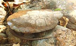
The forest environment in the Phu Sang National Park area can be classified into various forest types according to topographical factors, climate, soil characteristics, and plant characteristics that grow on the following five types Hill Evergreen Forest makes up 10% of the National Park's total area and is home to Fagaceae, Schima wallichii Korth, Manglietia garrettii Craib, and Michelia champacaamong the plant species. Ground plants include the Paco Fern, orchids, ferns, mosses, and Zingiberaceae. Coniferous forest (Pine forest) makes up just 2% of the National Park and is home to Merkus Pine (Pinus merkusii Jungh & De Vriese), Khasiya Pine (Pinus kesiya Royle ex Gordon), as well as various grasses on the ground. There are numerous species of wildlife in Phu Sang National Park, including Serow, deerIndian Muntjac, Wild Boar, Monkeys, Lemurs, Gibbons, Langur, Mouse Deer, Dhole, Red Junglefowl, Pheasants, Squirrels, Common Palm Civet, Northern Treeshrew, and vover 150 species of birds and reptiles, including the Clouded Monitor, Siamese Large-Headed Terrapin, and numerous snakes. The Siamese Large-Headed Terrapin has been designated as the park's symbol. |
How to get there by car :
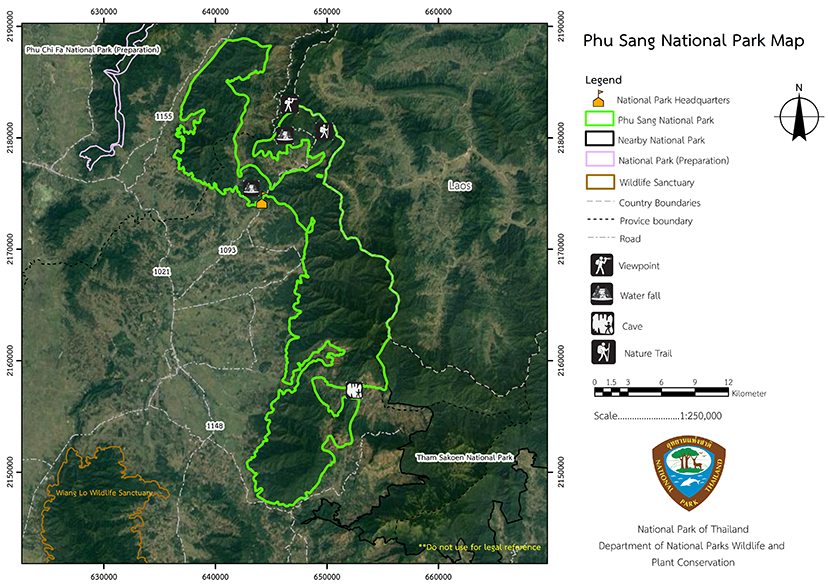
Phu Sang National Park is located approximately 96 kilometers south of Phayao Province on the Phayao - Dok Kham Tai – Chun - Chiang Kham route (Highway No. 1021), approximately 20 kilometers north of Chiang Kham District. Turn right (Highway No. 1093) just before the Phu Sang Witthayakhom School near the Phu Sang District Office. Alternatively, if you travel from Chiang Rai Province - Thoeng - Chiang Kham, it is a distance of approximately 100 kilometers along Highway No. 1021. You can also take a bus from Phayao Province Chiang Kham District or Chiang Rai Province , with a minivan the best option on the Chiang Kham - Ban Huak line, as that passesthe Phu Sang National Park Headquarters.
- National Park Ranger Station Pho So No. 1 (Pha Deang)
- National Park Ranger Station Pho So No. 2 (Huai Sa)
- National Park Ranger Station Pho So No. 3 (Pang Kha)
- National Park Ranger Station Pho So No. 4 (Ban Huak)
- Accommodation - Phu Sang 101/2 (Pa Dong)
- Accommodation - Phu Sang 101/1 (Pa Dong)
- Accommodation - Phu Sang 102 (Kong Prai)

